

I bought a new Michelin 742 map today as my current one from a previous trip is a bit tatty, there are quite a number of changes in the two maps.
I would like to do a run in the middle Atlas, possibly Agoudal to El-Ksiba on R317 or Agoudal to Midelt on R706.
I notice on the new map, the Cirque de Jaffar is no longer marked, also this route is no longer 'Unsurfaced / Tracks' but now marked with solid lines, indicating a surfaced road.
Does anyone know if there have been improvements in this area and would any routes in this area be suitable for 1200gs? I have read some of Tims ride reports and the Curque de Jaffar is possibly a bit too technical??
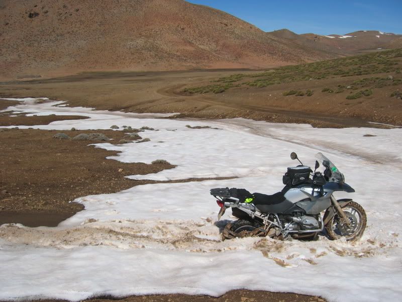
I previously attempted to do Dades to Todra via Agoudal but had to turn back because of Snow so I guess all of these routes are weather dependant.
Old Map

New Map

Previously, 10km from Agoudal

I would like to do a run in the middle Atlas, possibly Agoudal to El-Ksiba on R317 or Agoudal to Midelt on R706.
I notice on the new map, the Cirque de Jaffar is no longer marked, also this route is no longer 'Unsurfaced / Tracks' but now marked with solid lines, indicating a surfaced road.
Does anyone know if there have been improvements in this area and would any routes in this area be suitable for 1200gs? I have read some of Tims ride reports and the Curque de Jaffar is possibly a bit too technical??
I previously attempted to do Dades to Todra via Agoudal but had to turn back because of Snow so I guess all of these routes are weather dependant.
Old Map
New Map
Previously, 10km from Agoudal
