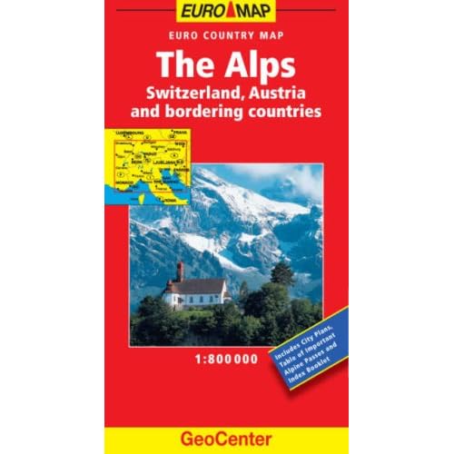
Or you could try the Freytag and Berndt Alpenlander, also at 1:800 000.
It has a heck of a lot of small roads on there for the scale, some of them don't show up on the TomTom and I've ridden a good few gravel passes that are marked on it.
i ordered both suggested maps but could get one, the one that came was the Freytag & Berndt map of THE ALPS, its absolutely fantastic, thank you very much, it shows all the passes and gives heights and gradients, also scenic routes etc, well worth the money.
isbn code 978-3-7079-0425-3 for those interested.