Two different things here-
Maps
and
Tracks
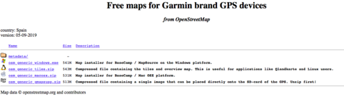
Maps- these need be installed in BC in your computer or placed in a folder called 'Garmin' on an SD card- in order to be 'selectable' in BC (and sometimes the Ms version needs be coded to zero for BC to be able to see them.)
but I do not use a Mac so...
As to the GPX file upload errors:
Could it be that the answer is in red as per your screen shot? aka "contain more than 200 route points?"

One suggestion - (my not being an mra user so feel free to disregard!) would be to open the downloaded file in BC; the gpx contains 29 tracks and 208 waypoints.
To get past the warning you are getting, I would create individual .gpx files for each of the tracks keeping the same sequence but renaming them like Fr-TET1, Fr-TET2 so that you can match them with the originals (pic below) and start from there.
You can also convert the tracks to routes but for trails I see no point as this will cause errors since recalculations use the mapping chosen to do so and a ridden laid-down trail is accurate whereas mapping...much less so.
Size matters
 View attachment 334414View attachment 334411 View attachment 334412
p.s
Don't forget to read their caveat:
"Please note that some sections will be removed from the download over the summer months either completely or by displaying them as single straight lines. We ask you not to ride these sections during these times as there are issues with fire risk or the potential for conflict with co-users who crowd to these areas as tourists."


 Don't forget to read their caveat:


 ....
.... ....
....
