Witness History - The invention of GPS - BBC Sounds
The Global Positioning System, also known as GPS, was created in the late 1970s
 www.bbc.co.uk

 www.bbc.co.uk

I remember the Decca system well, it was fitted to every BP ship I sailed on between 1974 and 1986. As you say, it was clunky, and worked using onshore transmitters to triangulate your position. You had to be fairly close to shore for it to work and, if I remember correctly, you needed special marine charts with the decca lines printed on them. Plus, not all countries had the Decca systems onshore.I remember it. I was doing a lot of work offshore, and we used a system called Decca for position fixing, but it was shore based, and pretty clunky.
Then GPS came along, thanks to Ron, but was deliberately made inaccurate presumably so that bad people couldn’t use it drop bombs and stuff. Still good but we needed better accuracy, and then a thing called differential gps came along, some kind of black box alongside the GPS that received radio signals and took accuracy down to 2-3m.
We take it for granted now, but impressive stuff nonetheless.

I was using the Magnavox equipment in the mid-1970s, which stirred my soul in early GPS navigation.I remember the Decca system well, it was fitted to every BP ship I sailed on between 1974 and 1986. As you say, it was clunky, and worked using onshore transmitters to triangulate your position. You had to be fairly close to shore for it to work and, if I remember correctly, you needed special marine charts with the decca lines printed on them. Plus, not all countries had the Decca systems onshore.
There was a similar system, which I believe had a much longer range, called Loran C, but I never sailed with this.
The first Marine sat nav system I encountered was on a ship BP bought off the Greeks in the late 70s/early 80s. It was probably one of the first commercial systems available and it was huge, about the size of a washing machine. It didn't have a screen, just a keyboard to input waypoints, etc, and a printer for the results. The antenna was a dome of about 1 metre diameter.
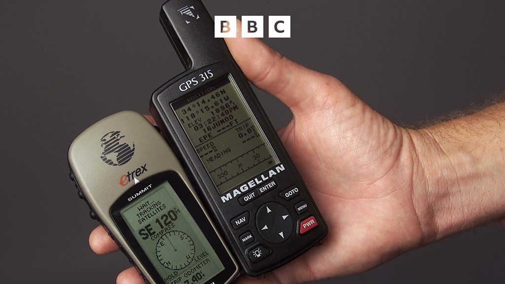
By the time I left the MN in 1986 all BP ships had SatNavs, these were Magnavox units, IIRC, similar to the one below.
How technology has moved on!
Yes, it did need those weird maps. I was maybe on some of those BP ships, though as I recall they were mainly Smit Lloyd supply boats.I remember the Decca system well, it was fitted to every BP ship I sailed on between 1974 and 1986. As you say, it was clunky, and worked using onshore transmitters to triangulate your position. You had to be fairly close to shore for it to work and, if I remember correctly, you needed special marine charts with the decca lines printed on them. Plus, not all countries had the Decca systems onshore.
There was a similar system, which I believe had a much longer range, called Loran C, but I never sailed with this.
The first Marine sat nav system I encountered was on a ship BP bought off the Greeks in the late 70s/early 80s. It was probably one of the first commercial systems available and it was huge, about the size of a washing machine. It didn't have a screen, just a keyboard to input waypoints, etc, and a printer for the results. The antenna was a dome of about 1 metre diameter.
By the time I left the MN in 1986 all BP ships had SatNavs, these were Magnavox units, IIRC, similar to the one below.
How technology has moved on!
