Last time I walked from Billingsgate, eastwards to the ExCel halls. This time, it’s westwards, three miles to home.
To be continued….
PS It’s locked only while I wait for umpteen photographs to transfer from my phone. I’ll then try to sort and weed them into some sort of logical sequence, hopefully adding some explanatory blurb. In the meantime, I’ll sort myself out for tomorrow’s ‘Soft southern shandy drinkers’ weekend jaunt, which’ll take a while.
Last edited:


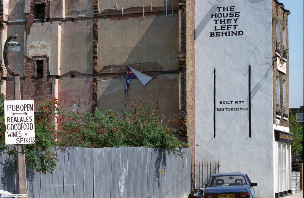
") It does highlight how our other great cities are being left behind though.
It does highlight how our other great cities are being left behind though.