Kazakdan
Registered user
Finding off-tarmac trails for the GS in UK is a challenge. Some are gravel but some turn into enduro with no warning.
But I am using a new site called TrailVidz.com
It has revolutionised my finding trails.
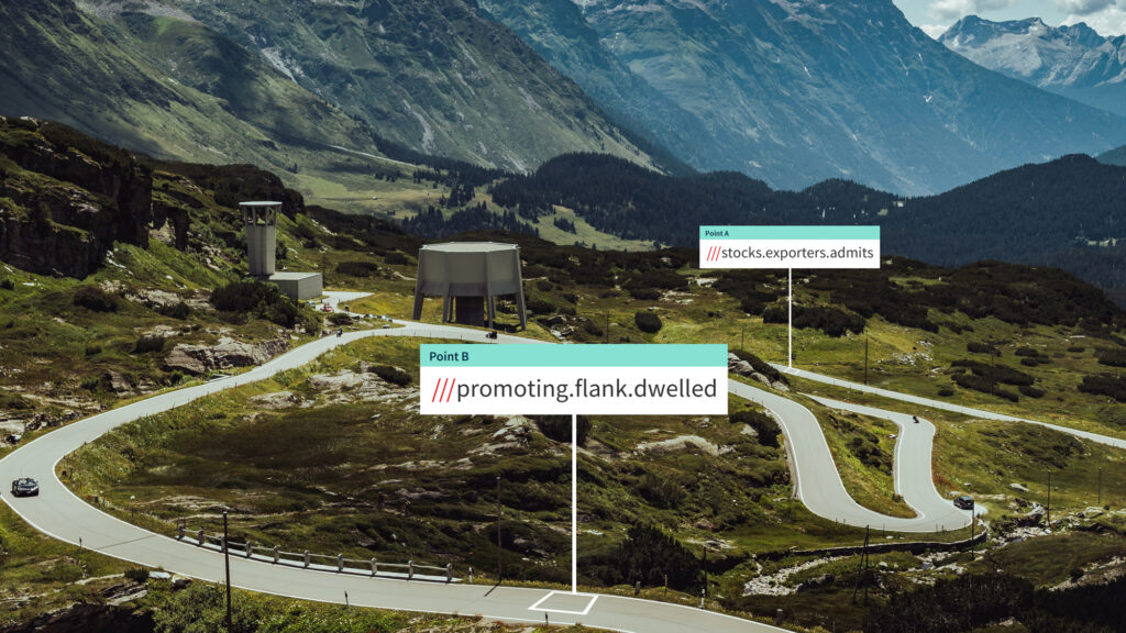
You can navigate to each trail head using Google and W3W. There are pictures and video of many and a ratings system for easy medium and hard.
I go out solo mostly and so this has given me confidence that I am not going to get stuck in some unexpected crevice of a lane.
It doesn't have a GPX creation option. I want to be able to use the W3W points in a list to make a GPX.
Is there a navigation app out there which will let me add a list of W3W to make a GPX file?
=======
Moved from Travel and OP’s question highlighted.
Richard
But I am using a new site called TrailVidz.com
It has revolutionised my finding trails.
You can navigate to each trail head using Google and W3W. There are pictures and video of many and a ratings system for easy medium and hard.
I go out solo mostly and so this has given me confidence that I am not going to get stuck in some unexpected crevice of a lane.
It doesn't have a GPX creation option. I want to be able to use the W3W points in a list to make a GPX.
Is there a navigation app out there which will let me add a list of W3W to make a GPX file?
=======
Moved from Travel and OP’s question highlighted.
Richard
Last edited by a moderator: