

The re-printed Michelin map of the ever popular D-Day landings and ensuing battle for Normandy is well known.
What might be of interest is their maps 103, 104 and 105 in the same series.
All three are re-prints of the 1947 maps, along with a potted history of the events they display.
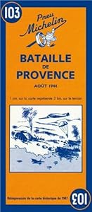
103 is the Battle of Provence. Few bods realise there was heavy fighting right down at 'tother end, too. August '44
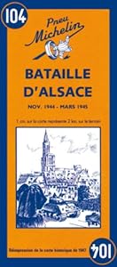
104 is the Battle of Alsace, all around Colmar November '44 to March '45. Given that the Vosges are a popular enough destination, it might be interesting to look at for some.
Again, it was the scene of very heavy fighting as this little snippet from town of Haguener shows: Liberated for the first time by the 7th Army on 10 December 1944, Haguener was then retaken by the enemy on 21 January and remained in the firing line until 16 March 1945 when it was finally liberated for good. The town suffered greatly during this second period.
If nothing else it shows the swathe of destruction that engulfed Europe; a fairly modest French town, miles from Normandy and Paris, close to the border with Germany, fought over for three months.
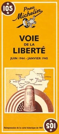
105 is the 'Road to Liberty' from Normandy to Luxembourg, june '44 to January '45
I picked them up in WH Smith's at the Chunnel last weekend. A fiver each.
What might be of interest is their maps 103, 104 and 105 in the same series.
All three are re-prints of the 1947 maps, along with a potted history of the events they display.
103 is the Battle of Provence. Few bods realise there was heavy fighting right down at 'tother end, too. August '44
104 is the Battle of Alsace, all around Colmar November '44 to March '45. Given that the Vosges are a popular enough destination, it might be interesting to look at for some.
Again, it was the scene of very heavy fighting as this little snippet from town of Haguener shows: Liberated for the first time by the 7th Army on 10 December 1944, Haguener was then retaken by the enemy on 21 January and remained in the firing line until 16 March 1945 when it was finally liberated for good. The town suffered greatly during this second period.
If nothing else it shows the swathe of destruction that engulfed Europe; a fairly modest French town, miles from Normandy and Paris, close to the border with Germany, fought over for three months.
105 is the 'Road to Liberty' from Normandy to Luxembourg, june '44 to January '45
I picked them up in WH Smith's at the Chunnel last weekend. A fiver each.
