In addition to all the well known places, there ar also lots of smaller detours along the way that may be well wort seeing if weather is good and time permits.
I find Google maps a bit lacking when it comes to depict the smaller roads properly.
For more details (but with no planning tool) I prefer to use these maps:
norgeskart.no and
Finn maps
as they show more details and makes it easier to see smaller roads.
Both maps offer detailed pictures, based on low-level areal photos rather than satellite pictures (but not streetview) where you can get a good idea of the road surface etc. Most of the time the pictures are rather fresh and updated (they spend all summer taking areal photos).
When it comes to road numbers, as a rule of thumb: Roadnumbers with 3 or 4 digits offer more fun (and less speed-radar control) than 1 and 2 digit numbers.


")
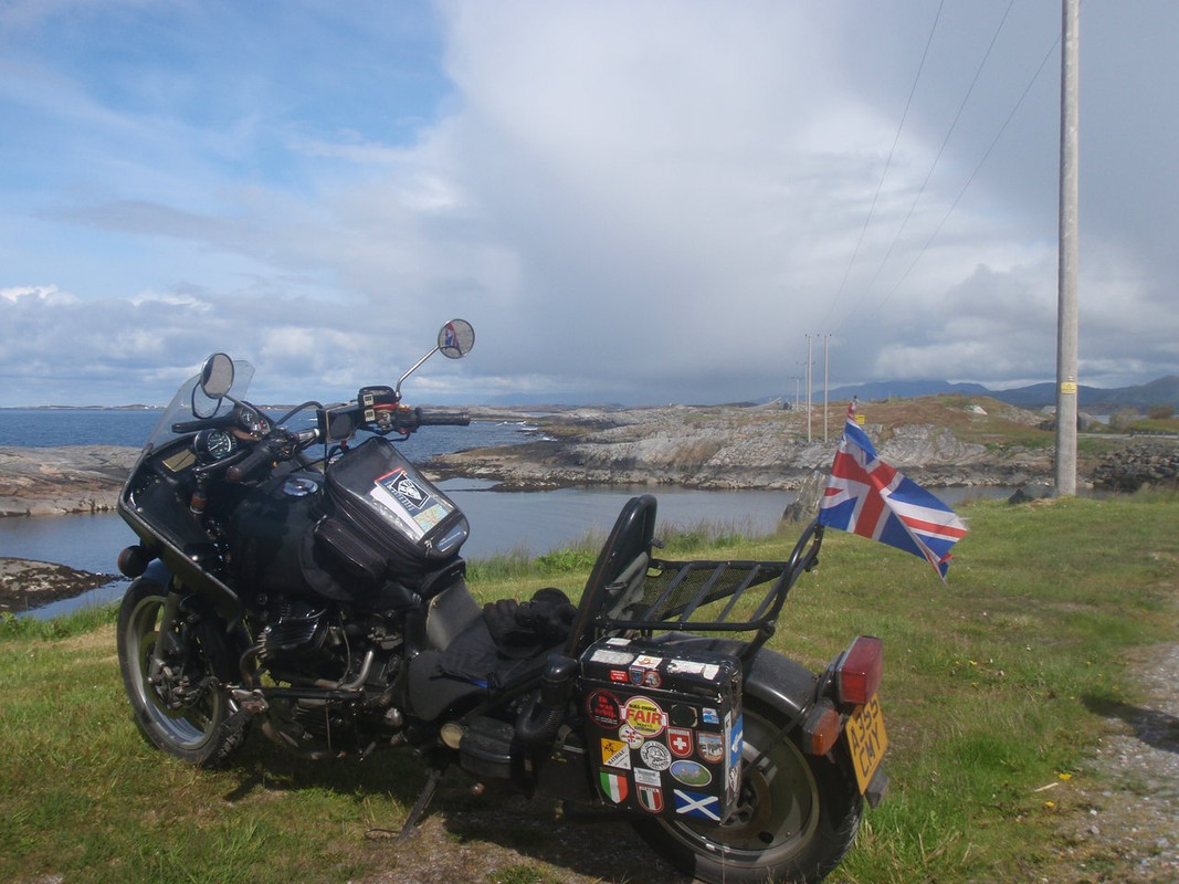
 Geiranger Fjord is spectacular but might be very busy in July when the cruise ships will be in. My routes kept me out of the Cities in Norway. Just a personal thing I'm not a fan of busy places.