Off-road atlas 2024

Wapping

Well-known member
Moderator
Joined
Oct 21, 2005
Messages
90,834
Reaction score
15,607
Location
Wapping, London
It’s a sad fact that the Germans publish many more books and articles of interest to motorcyclists of all sorts, than the British.

Off-road riding comes up from time to time on these pages. With this in mind, I tripped over this book (easily shipped to the UK) which might interest some here. Yes, it’s in foreign but a map is a map and a GPS download is, well, a GPS download. Give it a go. EUR 30 and a bit of postage too much? Buy it between you and your three mates you go with.

IMG_5026.png

IMG_5027.jpegIMG_5028.jpeg
 
I found the book and its English description by Googling around, after it had been advertised in the 2/2024 edition of Alpentourer magazine, which I subscribe to via Readly.

IMG_5035.jpeg

The same magazine had a piece on some light off-road riding in France. Again, it’s in German (I don’t speak or read a word) but it looks to be quite interesting riding-wise. With a bit more digging around, I found the GPS tracks of the routes the fellows rode. I need to do a bit of work on them in MyRoute (I only have them in Pocket Earth so far) but if I can make them work, I’ll share them on UKGSer.


IMG_5029.pngIMG_5030.pngIMG_5031.pngIMG_5032.pngIMG_5033.png

IMG_5034.jpeg
 
Last edited:
It struck me that my mighty Himalayan might well be just the bike for the off-road ideas in south east France. Better perhaps than my 1600, though that has been down some goat tracks in its life, usually by accident. I’m a bit long in the tooth to reinvent myself for the Paris Dakar but some unmade road stuff in France, why not?
 
Last edited:
It’s funny what you find out by using a bit of imagination. I had never heard of the Parpaillon Tunnel but there is always a pretty good chance Google had.

Bingo, along with a Streetview. What amused me was, for all its bikermate off-road qualities, there’s a decent sized motorhome on the same unmade road.

IMG_5036.png


A bit more gentle surfing around, using nothing more than my iPad, found:


And, low and behold, more bikermates in the pictures:

IMG_5037.png


A bit of a scroll down in Google, found me this:


As far as I can see All Trails is focused on walking trails but I guess many of them might be suitable for motorbikes, too. Just don’t piss people off or bikes get banned and then you’ll moan.

Instant holiday jaunts with almost zero effort. What are you waiting for? If I can do it, anyone can.
 
Last edited:
Most interesting - do I understand that you have/access to, some of those tracks in PE Archive format? If so could you point me directly towards the source that you have so diligently researched

Many thanks
 
I found the tracks shown in the map drawing in post #2, which I’ll share if I can get them from Pocket Earth into MyRoute. Here they are in red or most of them. The missing section I think I can fill in by hand:

IMG_5039.jpeg

I haven’t done much other hunting about for off-road GPS tracks, simply as I haven’t needed or wanted to. That being said, it’s maybe a fun project for you or others to try. Google up (or enquire on UKGSer) the Spanish, French, Italian and German words for ‘off-road’, ‘motorcycle’ and maybe a couple of others and insert GPX or GPS after them in a Google search. See what comes up. It’s free and you can’t break it. I’m using nothing more technical than an iPad and imagination; no IT skills are required, which is a good thing as I don’t have any. Or just buy the book and get started that way.

:beerjug:

PS The interesting thing is that the red off-road focused tracks, bisect a route I have used before (or picked up from somewhere) shown in black / blue. It shows the value in building up a library of routes and ideas, no matter where they might come from.
 
Last edited:
The Col Du Parpaillon has been mentioned many times on UKGSER, I have done it numerous times, one of my favourites.

If you like off road routes with old tunnels you have to do the Monte Jaffrau.

As mentioned before I find the best way to do these routes is to have a mid size dual sport and trailer/van it down there.

My DR650 has been perfect for this stuff.
 
Last edited:
Come on Wapping!!! €30 + postage? Well you do know how to find a biremate friendly bargain. That is a ridiculous price for a bit of emergency bog roll. :rolleyes:

You know what's coming next, don't you? :augie

"How about you buy it, then create GPX files and share them with us tossers, like you always do! :thumby: TA Biker mate" Followed by, "Which way do I turn, when I arrive at the shores of European continent?:confused: :D

Looks good that book, it is a shame that I have no off-road riding skills, or a suitable Adventure (with capital A) motorcycle... Oh hang on :blast
 
The Col Du Parpaillon has been mentioned many times on UKGSER, I have done it numerous times, one of my favourites.

If you like off road routes with old tunnels you have to do the Monte Jaffrau.

As mentioned before I find the best way to do these routes is to have a mid size dual sport and trailer/van it down there.

My DR650 has been perfect for this stuff.

Thank you.

There was a fellow further up the thread looking for GPX routes. Do you have any and / or basic maps he and others might see, please.

Edit: I see now you might well have: https://www.ukgser.com/community/threads/off-tarmac-routes-in-the-french-alps.353954/#post-5238408
 
Also check out the Trans Euro Trail website GPX maps of the trails available for download. Used a few of them, very good.
 
Following on from the opening post. I ordered the book from Germany, it arriving on my doostep (via Parcelforce) this morning.

Nicely published and no doubt even better if you could read German.

The maps work nicely and the GPX files (linked to each route) download really well via the book’s QR codes. The QR code opens up into a really nicely presented webpage on my iPhone. I see it is backed or sponsored by the German ‘Biker Betten’ group, who have similarly well presented web pages, biker friendly hotel guides and lots more besides.

IMG_4072.jpeg

IMG_4073.jpeg


Here’s just a sample of one, I picked at random from the book and downloaded onto my iPhone, then into MyRoute on my iPhone. As simple as A B C. I am confident that using one more phone based app, I could ride to the route from my front door and then ride along it.

IMG_4074.png


IMG_4075.png


Here it is, hosted on MyRoute but shared with the forum:


None of this involved anything more than an iPhone and no IT ability above that of pond life. If I can do it, anyone can. Play around, it won’t break.


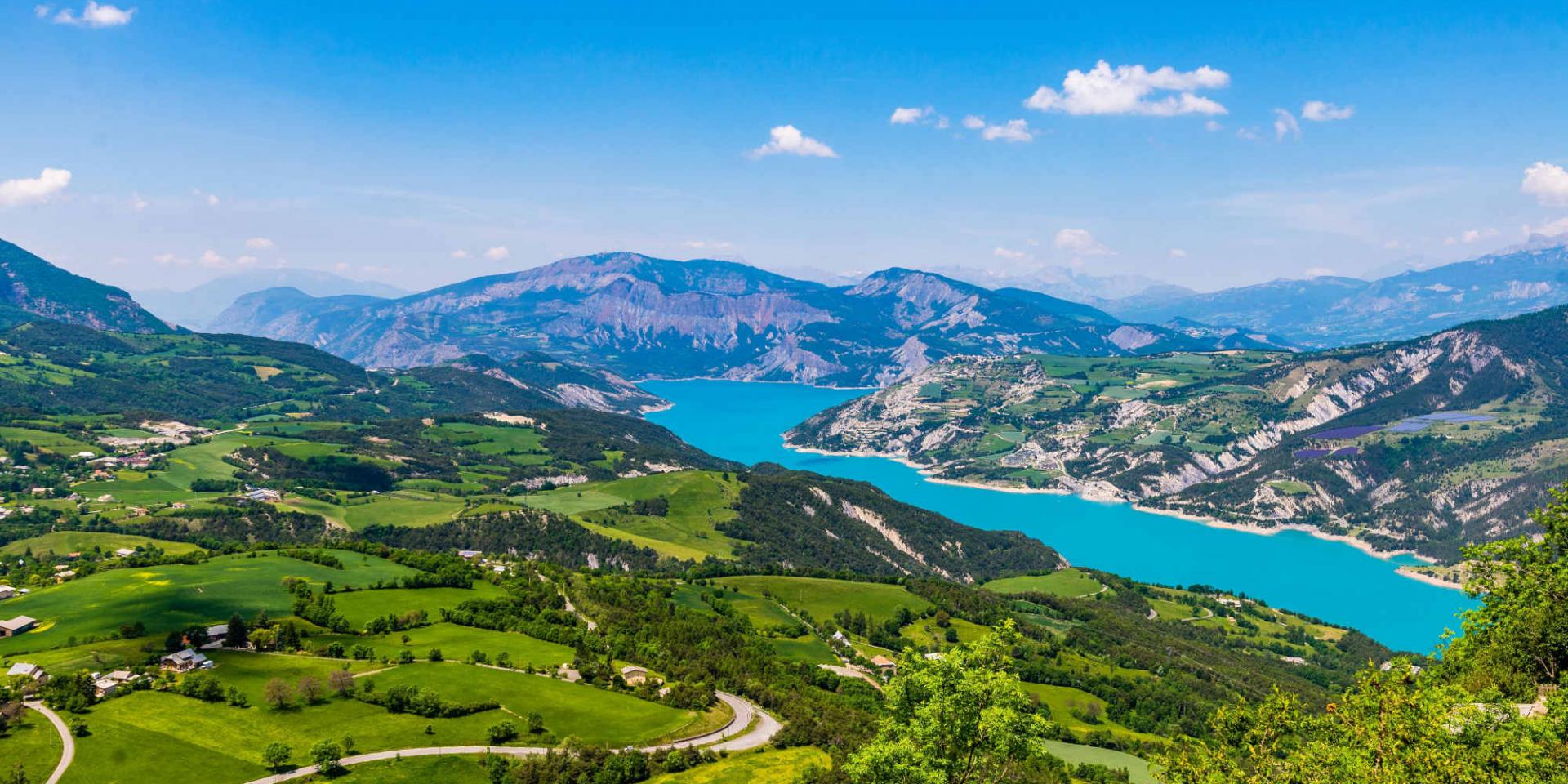
As you can see, it is pretty much an unadopted road, probably poorly surfaced and maintained linking two Italian towns or villages. It would probably be of no great interest to hardcore, rufty-tufty off-road gods, but for those who like riding (or just want to try) say, some of the smaller roads around, it would definitely be OK. I have ridden worse on my 1600. I have also had bods on my Wanders moaning thst some of the roads in the Belgium Ardennes are not billiard table smooth for their Adventure (with a capital A) GS motorcycles.

I see that the QR code in the picture above works, so you can try it for yourselves.

I need to look at the book some more, to see what type of other routes (there are 332 of them) the publisher has offered up. My gut feeling in two minutes? If you are already a King of the TET, then you probably know how to find awesome off-road tracks and routes, without any help. For those less blessed, it might well be useful. Buy one and share the costs between your mates.

PS Why English publishers cannot take a leaf out of the German’s book and start to publish similar good quality guides, all using fairly simple modern technology, is a mystery. They’d rather rely on some scabby maps, some often very unclear words and a few pictures. But hey, that’s bikermate Britain.
 
Last edited:
Just out of vague interest, if you display the MyRoute route in the post above in Michelin maps, and zoom out a bit, yiu can see a parallel adopted metalled road, running a bit south of the lesser, unmetalled, unadopted goat track:

IMG_5081.png

Those of a delicate disposition could take that instead. It’s probably pretty good.


Back
Top Bottom