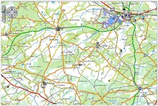
Treb Oldie but Goodie UKGSer Subscriber Joined May 26, 2026 Messages 184 Reaction score 85 Location London Oct 24, 2026 #41 Using Briouze as a reference point- here the ADVosm map but without contours- These can be either incorporated in the map or be a separate map which you enable and it will overlay- if your unit is capable of such a thing.
Using Briouze as a reference point- here the ADVosm map but without contours- These can be either incorporated in the map or be a separate map which you enable and it will overlay- if your unit is capable of such a thing.
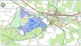
Treb Oldie but Goodie UKGSer Subscriber Joined May 26, 2026 Messages 184 Reaction score 85 Location London Oct 24, 2026 #42 Briouze at 300Mts- no contours Check post #1 and #12 for key Clean map and easy to identify the types of tracks
Briouze at 300Mts- no contours Check post #1 and #12 for key Clean map and easy to identify the types of tracks
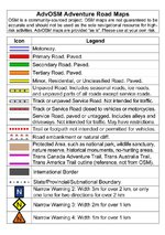
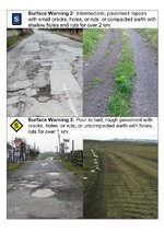
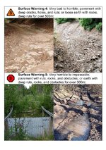
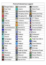
Treb Oldie but Goodie UKGSer Subscriber Joined May 26, 2026 Messages 184 Reaction score 85 Location London Oct 25, 2026 #43 @Snaf thoughts? Map Legend in JPGs and PDFs have been polished and are much sharper/easier to read. and you'll also find same legend but in different languages too. Last edited: Oct 25, 2026
@Snaf thoughts? Map Legend in JPGs and PDFs have been polished and are much sharper/easier to read. and you'll also find same legend but in different languages too.
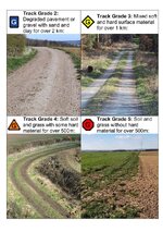
Treb Oldie but Goodie UKGSer Subscriber Joined May 26, 2026 Messages 184 Reaction score 85 Location London Oct 25, 2026 #44 New files as JPEGs which can display on your satnag- depending which Garmin you have. Sharper images