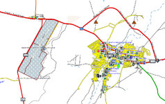
I would like to share with you the OSM maps I developed for back roads and off-road adventure riding. I created the first one because I couldn’t find a map that displayed on my Garmin screen the important road information I knew was available in OSM—whether a segment was unpaved, impassable, or even closed. Friends with Garmins asked for adventure maps for their countries, then their friends. The AdvOSM project slowly grew to cover 167 countries in 22 maps.
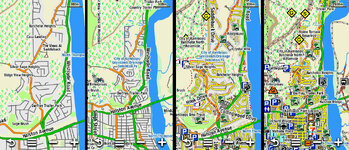
UK and Ireland now have their own map (previously, they were part of the Europe E map). Screenshots in Basecamp 54.02044,-1.83835 of the UK map and some other free general-purpose maps.
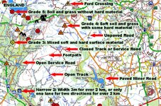
AdvOSM, annotated:
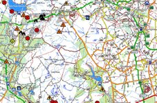
AdvOSM, without annotation:
AlternativasLibres:
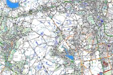
Freizeitkarte:
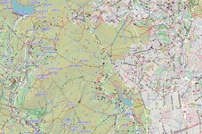
BBBike:
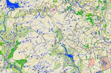
I hope you enjoy using the maps as much as I enjoy making them—and using them.
For more information and the download links: https://rex8475.wixsite.com/advosm
UK and Ireland now have their own map (previously, they were part of the Europe E map). Screenshots in Basecamp 54.02044,-1.83835 of the UK map and some other free general-purpose maps.
AdvOSM, annotated:
AdvOSM, without annotation:
AlternativasLibres:
Freizeitkarte:
BBBike:
I hope you enjoy using the maps as much as I enjoy making them—and using them.
For more information and the download links: https://rex8475.wixsite.com/advosm

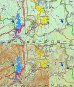

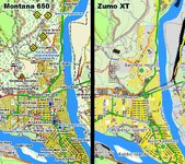




 (humour!)
 , who want and need all the detail.

 yet the silence here is deafening
  ...
...