Wapping Wander - From the Thames Barrier to Aldwych, via the City of London

Wapping

Well-known member
Moderator
Joined
Oct 21, 2005
Messages
90,847
Reaction score
15,626
Location
Wapping, London
Ahead of a visit of Doc to London and his desire to “See bits’ I recce’d out something for the ‘East side’.

09:30 at Tower Gateway, finished at around 14:00 at Aldwych but I didn’t stop for beers or a wee.

In essence:

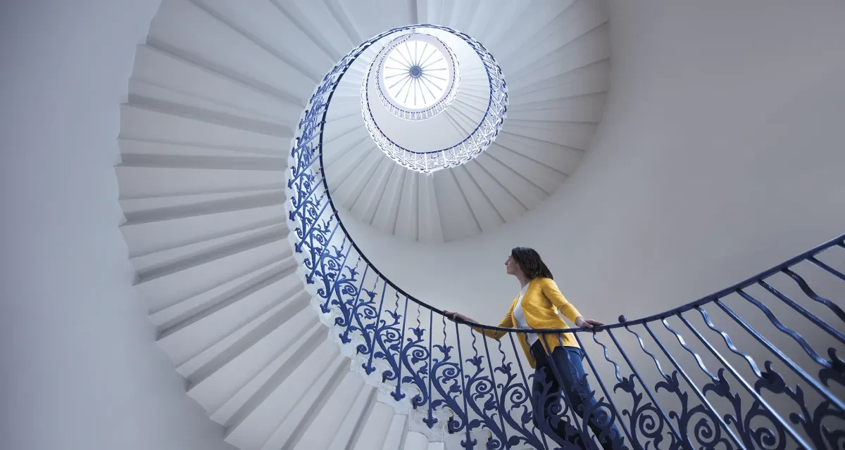
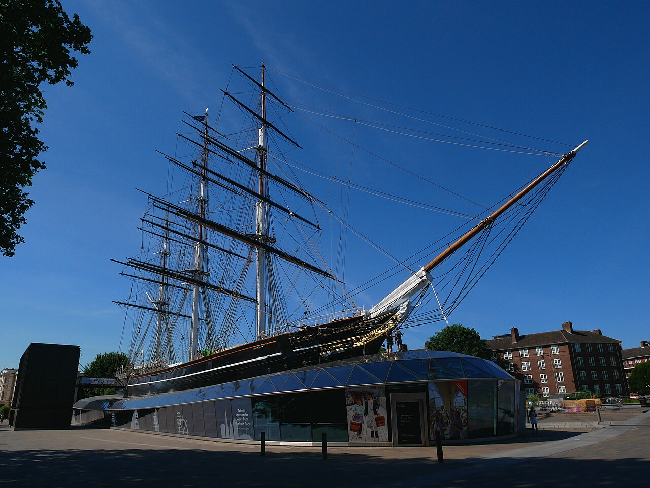
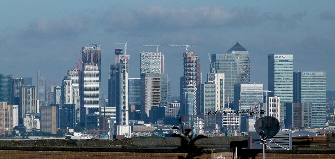
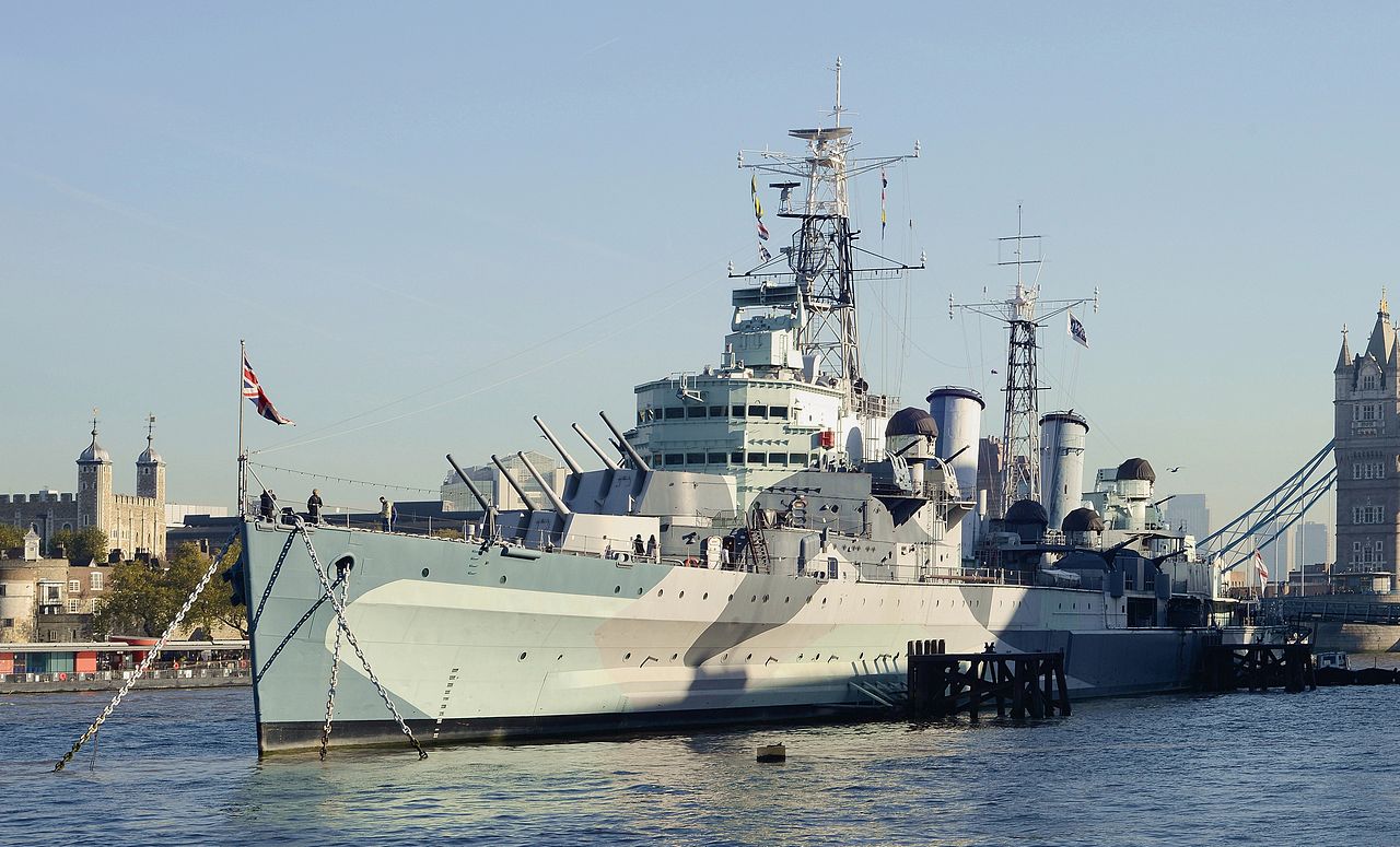
Tower Gateway > Thames Barrier > River bus thing (past Greenwich / Cutty Sark / Canary Wharf / Docklands / the three riverside pubs / River Police HQ / St Katherine Dock) > Tower Bridge > Tower of London > Tower Green > Merchant Navy Memorial > Port of London Authority building > Into the City > former Mark Lane tube entrance > former Billingsgate > the Monument > Walkie Talkie building > Lloyd’s > Leadenhall Market > former Simpson’s (which the fuckers closed down) > Royal Exchange > Bank of England > Mansion House > ‘The London Stone’ > Southwark Bridge > views across the Thames > Queenhithe > Royal College of Arms > London Blitz monument > St Paul’s > Temple Bar > the (very little seen) Amen Court > the Worshipful Compsny of Cutlers building > the Old Bailey > Holborn Viaduct > Inns of Court > Fleet Street > Temple Bar Memorial > Leave the City > Strand > Royal Courts of Justice > St Clement Danes (RAF church) > BBC > London School of Economics > Aldwych

From Aldwych, Doc can catch a bus back to Kings Cross.

Having done it, I can add a bit in at the eastern end of the City (ie Aldgate Pump) and in the middle, the Guildhall. I’ll include them on my second recce, to see how it pans out.

According to my phone, before it ran out, I walked six miles.

Several pubs passed.

The best day to do it might be the Friday, I think,

I’ll ping up the pictures, though my phone ran out of battery at the Royal Courts of Justice.


One bit of excitement, whilst I stood at Holborn Circus…. A prat on a rental pushbike, ran a red light and got properly spanked by a black cab. The cabby used the C word.
 
Last edited:
First to avoid the heap of bloody hire bikes, piled up to block the pavement at the top of Tower Bridge, forcing people into the road on one of the busiest junctions in the capital. If the bloody mayor wants to do one useful thing, he can sort this shit out and the yobs who use the bikes as as rubbish bin, to dump when they feel like it:

IMG_7720.jpeg

IMG_7721.jpeg

IMG_7722.jpeg

IMG_7723.jpeg

As for the cnuts who chew gum and spit it out.
 
Last edited:
A touch foggy in old Laaaandon Taaahhhn this morning, the upper parts of the Shard (away over the river) lost in cloud:

IMG_7725.jpeg

Tower Gateway DLR station is port of call one:

IMG_7726.jpeg

IMG_7727.jpeg


and a train to Pontoon Dock (on the Woolwich Arsenal branch) which’ll mean a change change of trains and platform at Canning Town.

For the ride out, the best side to sit is on the right, when facing the front of the front of the train, as the river and other sites will then be in view. Here’s the ‘New Billingsgate (soon to be shut) in the shadow of the financial institutions’
towers of Canary Wharf:

IMG_7732.jpeg

But on the left, as we approach Canning Town, is the River Lea, leading up to Bow Creek. The tide (it is very tidal) is well in.

IMG_7738.jpeg

Change trains and platforms at Canning Town, a big DLR, tube and bus interchange:

IMG_7740.jpeg

IMG_7741.jpeg

As the station is on different levels, it’s sometimes not the easiest place to navigate around.
 
Leaving Canning Town, the DLR runs along the river’s north bank, past the O2 dome in Greenwich on the river’s south bank, under the cross-river cable cat. This section of the old river bank was only cleared a few years ago, awaiting development:

IMG_7744.jpeg

and past the Tate & Lyle factory, just before our stop at Pontoon Dock:

IMG_7745.jpeg

The factory produces a million tins of golden syrup a month and is the sister factory to the largest sugar refinery in Europe, just a mile away. Tate & Lyle’s fortune was founded on the massive quantities of raw sugar imported into the docks and, as a consequence, the slave plantations of the Caribbean.
 
Last edited:
Pontoon Dock station on the DLR is elevated, several stories up above the road beneath.

Looking northwards, can see the low terminal building of London City Airport and to the left, the huge warehouse / mill, not yet redeveloped:

IMG_7746.jpeg

Descending the several flights of stairs to ground level, brings you to one of the many excellent maps they’ve put up, allowing you to orientate yourself, as there is a massive new development between the station, the river and our destination of the Thames Barrier:

IMG_7747.jpeg

IMG_7749.jpeg


Basically, it keeps the flood waters off London, important as the ‘at risk’ area stretches right through to the Houses of Parliament, several miles away to the west….. and includes my house! Though, with global warming, rising sea levels and changing weather patterns, a new and larger barrier will be needed, situated further east.
 
Leaving the barrier to our left, it’s then right turn to walk westwards along the river to catch the Uber sponsored river bus at Royal Wharf, westwards again to the Tower of London:

IMG_7760.jpeg


This view, looking westwards, shows just how much the river bends, around the Greenwich Peninsula:

IMG_7764.jpeg

It’s a Sunday service, so there’s a bit of a wait but just long enough to see a Thames sailing barge pass by, probably heading towards the moorings near St Katherine Dock:

IMG_7762.jpeg

IMG_7759.jpeg


And to look at the Tarmac (CRH) asphalt plant behind it, over on the south bank:

IMG_7763.jpeg


Then our ‘taxi’ comes into view and it’s away, westwards along the river:

IMG_7765.jpeg

IMG_7766.jpeg


Past the old docklands cranes, preserved for posterity from a time when this was all a part of the largest docks in the world, stretching right back to London Bridge, along both banks of the river:


IMG_7767.jpeg

To be continued……
 
Last edited:
On we go westwards, under the cable car and past the O2 dome:

IMG_7768.jpeg

IMG_7769.jpeg


The river bus ‘taxi’ moves along, alternating stops from bank to bank, which brings us to Greenwich proper, with the former Naval Hospital (built by Wren) which then became the Royal Naval College and the Cutty Sark. In the gap between the two magnificent buildings, you can just about make out the Greenwich Observatory away on the fog covered hill, from where Greenwich Mean Time is set and through which, the Greenwich Meridian runs. The white house, is Queen Anne’s.

IMG_7776.jpeg

IMG_7779.jpeg

The glass domed rotunda building is the exit to the foot tunnel dug under the Thames, still in use today. Its sister rotunda is on the north bank.


Greenwich and all its buildings (let alone the view from the top of the hill) is worth a stop, just on its own. But, we don’t have time today, sadly.
 
Last edited:
The this long stretch river, as we will see later, is still very much ‘live’ and run by the Port of London. This is just one of the barges, used to collect debris (including bodies) which drift in and out on the very strong tides:

IMG_7780.jpeg

To be continued….
 
Last edited:
Very interesting Richard.
 
A history lesson and a sightseeing tour all from my armchair, thanks Richard!

If anyone ever finds themselves with a couple of hours to kill, I can recommend the London Museum Docklands

 
After Greenwich, the Isle of Dogs comes up on the north bank, home to the huge Canary Wharf development:

IMG_7781.jpeg

IMG_7782.jpeg\

Whilst looking to the south bank, there’s the old warehouses of Rotherhithe:

IMG_7783.jpeg

IMG_7784.jpeg

This stretch of the river through to Tower Bridge, probably has the longest stretch of redeveloped warehouses, north and south.

We are now coming into Wapping, with the development on the right built to look like a modern take on an old warehouse:

IMG_7785.jpeg

The low white development with the crane is the now being dismantled cement works, built to feed the construction of the massive ‘Super sewer’ which runs west to east along the bottom of the Thames. The round rotunda is a vent shaft for the Rotherhithe Tunnel, running north to south.

IMG_0218.jpeg

Wapping is, if you like, the heart of the old Docklands. A strange, almost triangular area, bordered by the Tower of London to the west, the Thames to the south and the Highway to the north.
 
First up, is the entrance to Shadwell Old Basin:

IMG_7787.jpeg

Then the long string of redeveloped warehouses and wharves, along with the three waterside pubs. The first is the white building of the Prospect of Whitby:

IMG_7788.jpeg

IMG_7789.jpeg

IMG_7790.jpeg

IMG_7791.jpeg

Some retaining the cranes used to unload goods. The smaller cranes were swung and hauled manually, to lift goods up to the ‘windows’ from where they could be hauled in manually, directly onto the warehouse floors. This saved using stairs or installing lifts:

IMG_7792.jpeg

The second pub, again a white building, is the Captain Kidd:

IMG_7794.jpeg
 
Last edited:
Excellent bit of history lesson and photography Richard. 👍🏼

I think “Wapping Wanders - on foot” (day tours of London) group of no more than 3-4 bods is in the making here. 🤪
 
Last edited by a moderator:
Continuing along towards the Tower and Tower Bridge.

There’s the River Police, the oldest police force in the country:

IMG_7795.jpeg

Another wharf and literally tacked onto Oliver’s Wharf’s left side as viewed is ‘my pub’, the Town of Ramsgate. It is, not surprisingly, very narrow.

IMG_7796.jpeg

IMG_7798.jpeg

With the tidal river full, it is hard to imagine that you can walk along the shore of the river at low tide. Just a little way along at St Katherine Dock, the tide is nine metres.
 
Last edited:
Wapping is, if you like, the heart of the old Docklands. A strange, almost triangular area, bordered by the Tower of London to the west, the Thames to the south and the Highway to the north.
But it t was only on the western edge of the huge dock system from North Woolwich to the Pool of London. Most of the Surrey Docks are now built over. All the docks never really recovered from the massive bombardment they took during WWII and later the opening of the container port at Tilbury Docks downstream in Essex. I remember the North Woolwich and Isle of Dogs docks being used to their full capacity in the 60s, when the tide was right it would take ages to cross the swing bridges due to the amount of shipping passing in and out through the locks.
 
Last edited:
I
But it t was only on the western edge of the huge dock system

Indeed.

I’ll confess to a bias, for sure and a natural aversion to anything south of the river :D :beerjug:

Wapping though is unusual in that it is all but enclosed. Indeed, much of it once was, by the huge dock walls, some of which still exists today.

There is a very good book on the role the whole of the docks (along with the ship building that went on) I’ll dig it out, in case it interests anyone.

Now…. On we go…. The Tower and the City of London await.
 
I have done a bit of work (at least in my head) to alter the City bit. It’ll mean a bit more shoe leather, but I think it’ll be worth it.

I’ll give it a second recce from Tower Bridge onwards, as I know the Thames Barrier thro’ to the Tower is OK. I’ll charge my phone up this time!

Now to complete the trip report on the jaunt I did yesterday.

PS Not forgotten about the ‘West side’.
 
On with the tour….

With the Town of Ramsgate pub now behind us, the river bus continues west, past the ‘service centre’ for boats and the lock entrance to St Katherine Dock, the last active dock (it’s now a marina) before Tower Bridge.

IMG_7802.jpeg

This is the dock’s entrance into its lock. The very large building with the clock tower is ‘Ivory House’, a massive former warehouse (now flats) which used to house, as its name suggests, the UK’s imports of ivory.

IMG_7805.jpeg

Then it’s under Tower Bridge and past the Tower of London;

IMG_7806.jpeg

The best view of the original Norman tower is from the river, the northern view of the tower being obscured by the much later ‘curtain walls’.

To the left, you can see the modern towers of the City of London, their tops shrouded in mist. The Tower, which is still a royal palace and home to the Crown Jewels, is not in the City of London itself, as it lay outside the walls of the City. On the re-work of the day, we’ll go to see a section of the remaining wall.


IMG_7807.jpeg

IMG_7809.jpeg

Then it’s off the boat and back onto dry land. In this picture, you can see Tower Bridge and, above the bod in the reddish cap, the ‘snail shell’ HQ of the Mayor of London on the south bank of the Thames, just up from HMS Belfast:

IMG_7810.jpeg

IMG_7811.jpeg

Just behind the Belfast is the brown outline of Southwark Crown Court, where many of the high profile ‘financial crime’ trials take place, along with several ‘celebrity’ trials. Behind that, the Shard building.

IMG_7812.jpeg


Last edited:


Back
Top Bottom