GSAde
Registered user
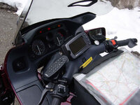
Having purchased a 2610 ") a mate of mine wants to buy my old gpsIII+ & touratech mount - anybody any idea what I should ask for it? - I aint got a clue.
a mate of mine wants to buy my old gpsIII+ & touratech mount - anybody any idea what I should ask for it? - I aint got a clue.
Ade
a mate of mine wants to buy my old gpsIII+ & touratech mount - anybody any idea what I should ask for it? - I aint got a clue.Ade