I have cut quite a nice route from the latest edition (125) of Motorrad & Reisen magazine, into MyRoute.
I think it’s near enough correct.


I think it’s near enough correct.


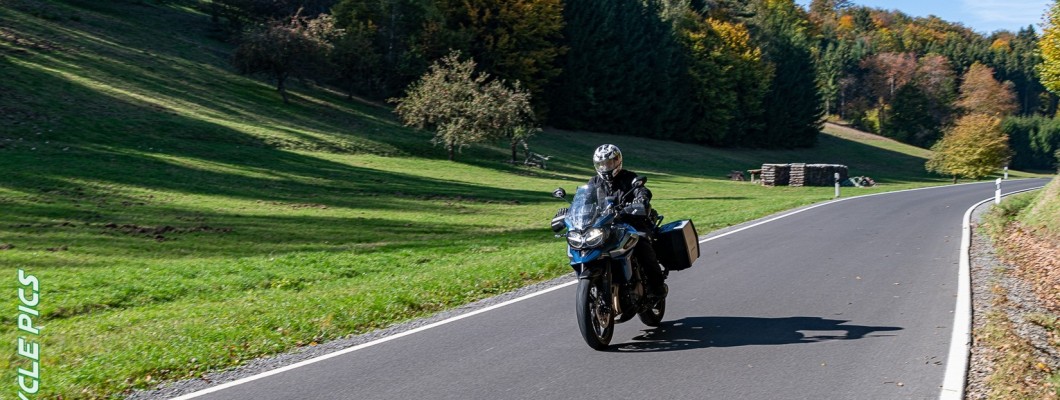
Is it worth a week Wessie ?Having ventured into the area south and west of Wurzburg earlier this year, on the way home from Austria & Bavaria, I want to explore that part of Germany more. Lovely undulating terrain through forests and river valleys.
We stayed here https://maps.app.goo.gl/EiiKUwuLzWszryEf9 on the River Main which is about an hour south of Rieneck at the southern end of the loop.

Thanks I shall look into it a bit more.

Might be 4 wheels though
Is it worth a week Wessie ?
Ok thanks Wessie.as well as the stuff itemised above, you would also be in the area https://www.germany.travel/en/nature-outdoor-activities/the-castle-road.html which has featured in another thread here
we spent 2 nights at the hotel I mentioned. It's a small village west of Wurzburg on the banks of the River Main. Not much to do there but there is a lovely Biergarten Imbiss on the shore next to where the river cruisers stop and a good ice cream shop.
You might find some of the bigger towns or cities with the castles are more suited to your apparent preferences.
The famous Romantic Road is nearby and we rode a small part of it on a daytrip to Rothenburg ob der Tauber through the Tauber valley.
You really can't go wrong in Germany focussing on areas feeding into their major rivers.


Thanks Richard,Doc, if you are definitely thinking of going, this website has suggestions for no less than 20 jaunts. They all download very well into Kurviger. From Kurviger, you can export the GPX file into say, BaseCamp or MyRoute.
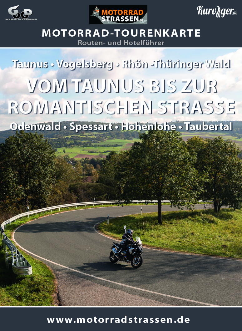
Motorrad-Tourenkarte "Vom Taunus bis zur romantischen Straße"
Vom Taunus bis zur romantischen Straße stellen wir auf dieser Motorradtourenkarte insgesamt 20 Motorradtouren vor und bereisen damit die Regionen: Taunus, Vogelsberg, Rhön, Thüringer Wald, Odenwald, Spessart, Hohenlohe und das Taubertal. Wie immer mit KURVIGER-Links zum Download für fast alle...www.motorradstrassen.de
Download the map of the 20 routes, here:
Any area (it’s huge) with 20 suggestions, shows that it will probably be good for a motoring / motorbiking holiday. Mix’n’match to your heart’s content.
PS The Motorrad Strassen publication closes its doors at the end of this year. I guess that the GPX files might then die out, not instantly perhaps but at some time. My suggestion would be to download them all into something like BaseCamp or MyRoute, for possible future use.
Thanks Richard,
Definitely going but not in January. Will leave it until the weather is a bit warmer and go on the bike.
I haven't tried Kurviger before.
Going to have a look thanks Wapping.
Looking for maybe a week next year.
Sunday RichardI see you’ve set off.
Enjoy your holiday.
