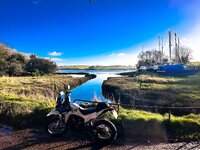
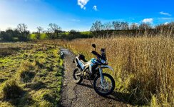
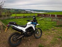
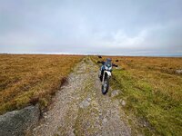
South East Cornwall and Dartmoor. One river crossing (Bridge if water too high). About 5 hours with lots of stops. From Quite easy to slightly testing lanes. Created in MRA (HERE) and overlayed on TRF map for legality. Fantastic views. Will need a smaller dirt type bike. Start anywhere around Plymouth to head onto Dartmoor. Finishes just over the Tamar in Saltash Any questions just message me.
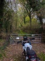
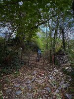
For right of ways, aside from TRF's options (I am a member too), there is some specific OpenStree Maps based cartography with rights of way indicated. So at least you know you are going somewhere where it's legal too.
I shared these multiple times.
They are updated roughly yearly, and the price is extremely reasonable.
Hello, any routes available for N Ireland/ Ireland?
i have just traded my GS1300 for the 900GS so looking for some routes, also anybody know of any groups that ride some off road on similar bikes?
I live in Aghalee (15miles outside Belfast)