Farmboy
Registered user
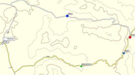
Trying to plan my route through Morocco, I take it I can plan the route on the Maroc topo map and save it all. then when i get on the ferry I can switch over my card in the Garmin to use the maroc map instead of the European one.
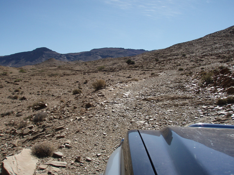
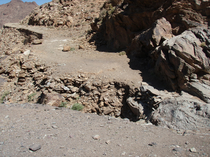
When travelling on the pistes is it enough to Use a waypoint at the start and then say one everytime there is another junction to keep me right, or are the pistes harder to follow than that, I have waypointed the main roads for example with " keep left on N13 " then the next waypoint some 50 miles later with " turn right onto Medilt Piste " would this be sufficient
I have also dobbed all the pistes in today using the routing tool but took forever and i wondered if it was really required.
Just trying to get it all loaded up and sorted so I dont get horribly lost on the wrong piste on the wrong bike
Cheers Chris
")