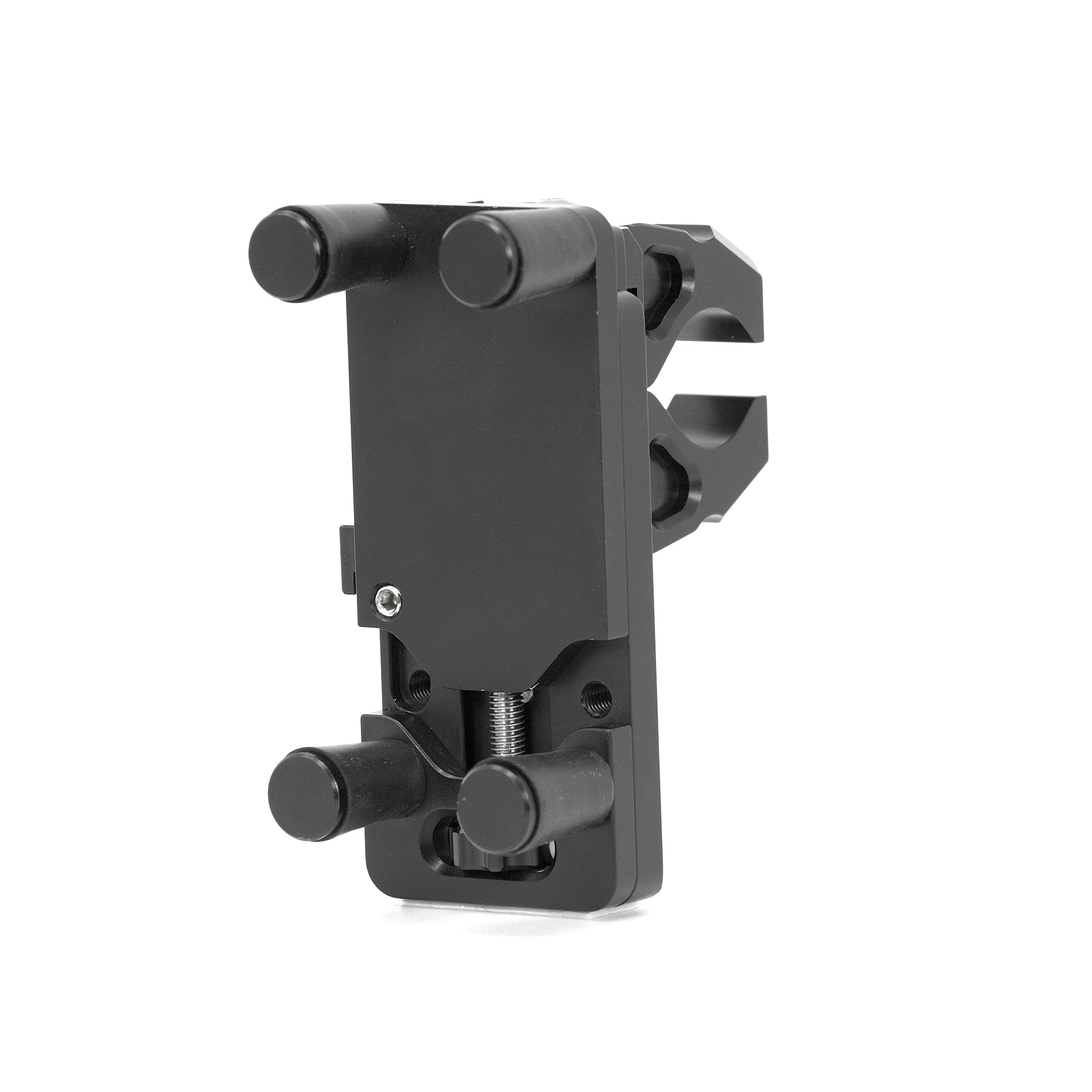
I use a rugged Android and Locus Maps as a back up on my 690. Charging is one issue here, the Hondo garage phone mount is the only one I have found reliable.
Comes with everything you need: (1) Perfect Squeeze Phone Mount. Fits any phone and almost all cases. Can be mounted in landscape or portrait orientation. (1) Set of our Low-Profile mounting clamps. Quickly clamps to any bar or irregular shape from .375" to 1.25" in diameter. Our unique...

hondogarage.com
If you’re not off road, then you’ve more choice.
Also, the phones overheat, making them unusable till they cool down, they are not very sunlight readable and I’m pretty sure that all the phone apps require a data connection even you have offline maps, for everything except running a pre loaded gpx, which can be a pain if you’ve no mobile signal and just want the device to navigate you to a hotel or petrol station.
Garmin devices of course need no mobile signal.
OSM maps are variable- depends who maintains them. Locus provide paid but low cost OSM maps that are quite easy to use, but it’s fair to say that OSMand and Locus are less user friendly than the Garmin devices. And they are also buggy, so don’t expect them to be faultless.
If you just want to go from a-b on the road, then the TomTom paid app is very good. Still needs a mobile signal though.
Sent from my iPhone using Tapatalk