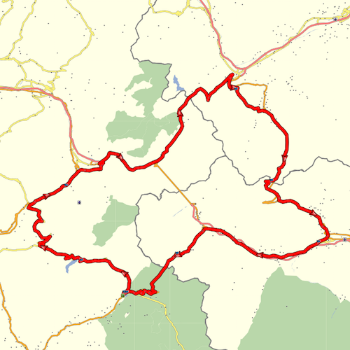
Here, as close as I can make it, is Yarkto’s loop route (minus the seasonal closures and without the ‘added value’ bits) cut into MyRoute.
It looks pretty much right, when compared to the version offered up by Pocket Earth, using the file attached to post #1. Ignore the purple bits, those are just the parts I used to trace over.


About the only thing of interest to note in the first screenshot, is that the shaping points are ordered numerically, along the line of travel. which keeps the route ‘on-track’ as it were.
It looks pretty much right, when compared to the version offered up by Pocket Earth, using the file attached to post #1. Ignore the purple bits, those are just the parts I used to trace over.
About the only thing of interest to note in the first screenshot, is that the shaping points are ordered numerically, along the line of travel. which keeps the route ‘on-track’ as it were.
Last edited: