Wapping Wander - E1 to SW3 to SW11 to SE1…..And on….

IMG_8378.jpeg

And counting…….

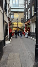
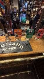
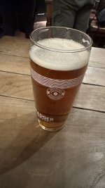
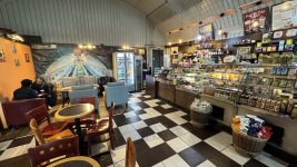
Stopped at 15:30 for refreshment at the Ship and Shovel, a pub split in two….

IMG_8375.jpeg

IMG_8376.jpeg

IMG_8377.jpeg

IMG_8379.jpeg
 
Last edited:
  • Like
Reactions: Doc
12.8 miles (apparently) door-to-door or 28,704 steps with nine sets of stairs, whatever that means.

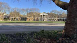
09:30 Home > Shadwell > DLR > Bank > Central line > Queensway > Hyde Park > Kensington Palace > Royal Albert Hall > Museums etc > Thin House > Michelin Building > Sloane Avenue > Saatchi Gallery > Royal Hospital > Chelsea Bridge > Battersea Power Station > Bus > Lambeth Palace > Lambeth Bridge > Houses of Parliament > Westminster Abbey > Parliament Square > Whitehall > St Jame’s Park > Buckingham Palace > The Mall > St Jame’s Park (again) > Horseguards Parade > The War Rooms > Cenotaph > Downing Street > RAF memorial > New Scotland Yard > Trafalgar Square > Charring Cross > Strand > Savoy > Aldwych > Fleet Street > St Paul’s > Bus > Tower of London > St Katherine Dock > Home 17:30

Pictures etc to follow
 
Last edited:
12.8 miles (apparently) door-to-door or 28,704 steps with nine sets of stairs, whatever that means.

09:30 Home > Shadwell > DLR > Bank > Central line > Queensway > Hyde Park > Kensington Palace > Royal Albert Hall > Museums etc > Thin House > Michelin Building > Sloane Avenue > Saatchi Gallery > Royal Hospital > Chelsea Bridge > Battersea Power Station > Bus > Lambeth Palace > Lambeth Bridge > Houses of Parliament > Westminster Abbey > Parliament Square > Whitehall > St Jame’s Park > Buckingham Palace > The Mall > St Jame’s Park (again) > Horseguards Parade > The War Rooms > Cenotaph > Downing Street > RAF memorial > New Scotland Yard > Trafalgar Square > Charring Cross > Strand > Savoy > Aldwych > Fleet Street > St Paul’s > Bus > Tower of London > St Katherine Dock > Home 17:30

Pictures etc to follow
Kudos, as they say on Strava.That's a fair old stroll my knees and feet are aching just thinking about it, I would definitely have to do that distance on my pushbike since my achilles went ping.
 
Kudos, as they say on Strava.That's a fair old stroll my knees and feet are aching just thinking about it, I would definitely have to do that distance on my pushbike since my achilles went ping.

I ruptured my Achilles on 31st May 2024. Whilst it’ll never be ‘as good as new’ I don’t have too much trouble with it, thankfully. I do though still do the exercise regime, prescribed to me by my physiotherapist through the three months of physio I went through, once the boot came off.
 
As usual, it started with a walk from home in Wapping to Shadwell station to catch the Docklands Light Railway (DLR) westwards to Bank, in the heart of the City of London.
A crowd pleasing one degree when I set off. Being in the middle of London, it doesn’t freeze too often here. The London plane trees, cut right back as usual at the end of autumn are already showing good signs of new growth. Fantastic trees, which suck in CO2 and give off oxygen, shedding their bark naturally:

IMG_8028.jpeg

Along the ornamental canal (this is all built on the reclaimed London Dock) leading to the repurposed Tobacco Dock, in the top left corner:

IMG_8029.jpeg

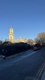
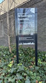
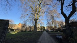
Normally, I’d follow the canal to Wapping Woods, a small green park, and then turn north to cross the Highway to Shadwell, but this time I took an earlier road north, past the former dick wall, towards St George’s in the East chuch, to walk through its chuch yard and out onto CableStreet and look at the mural:

IMG_8030.jpeg

IMG_8031.jpeg

IMG_8034.jpeg

IMG_8035.jpeg

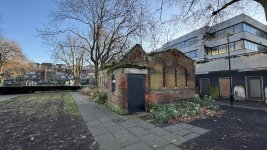
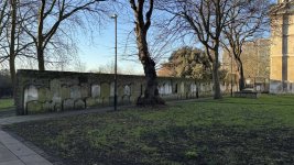
The Victorian ‘Nature Studio’ ruin is (Tower Hamlets Council promise) going to be restored, as a part of the regeneration of the St George’s public swimming pool, which has been closed for a few years:

IMG_8036.jpeg

IMG_8037.jpeg

London has a lot of these small parks, quite separate from the large ‘Royal Parks’, two of which we will see later.
 
Last edited:
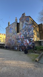
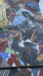
Out onto Cable Street, past the mural which depicts the East End rising up to block the march of Mosley’s ‘Black Shirts’ fascists, in the so calked ‘Battle of Cable Street’ in 1936. Four years later, German fascist bombers would return to flatten the area in the Blitz:

IMG_8039.jpeg

IMG_8038.jpeg

IMG_8040.jpeg

IMG_8041.jpeg

IMG_8042.jpeg

Turning right onto Cable Street to walk eastwards to Shadwell Station:

IMG_8043.jpeg

Past Shadwell Fire Station. People will remember that, a few years ago, the number of London’s fire stations was reduced. This produced umpteen sworn predictions from the Fire Brigade Union of a disaster. A disaster which, touch wood, has never materialised:

IMG_8044.jpeg

Turning left onto Watney Street, you can see more evidence of buildings (very often pubs) left behind after the Blitz and now turned into shops or flats:

IMG_8045.jpeg

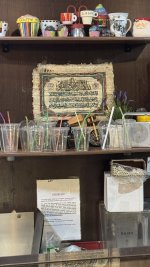
But first a stop off at the very good Algerian run cafe, built into the railway arches:

IMG_8046.jpeg

IMG_8047.jpeg

Then up the stairs to catch the DLR west to Bank and the City:

IMG_8048.jpeg

IMG_8049.jpeg

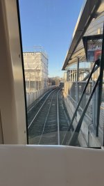
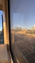
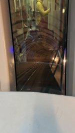
The driverless trains running underground from roughly Tower Hill:

IMG_8050.jpeg


Last edited:
Bank Station, the last stop, has been hugely modernised, to coincide with the opening of the new Elizabeth Line, itself a big success:

IMG_8051.jpeg

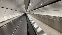
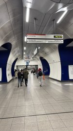
The DLR line is deep, requiring two sets of escalators to reach the Central Line (itself an escalator ride to the surface) and benefits from a new moving pathway, to cut out a lot of the walking:

IMG_8053.jpeg


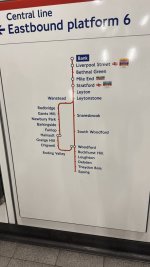
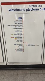
Each of the tube’s individual lines, crissscrossing the huge capital and beyond from north to south and east to west are colour coded. We’ll need to take the red Central Line westwards to Queensway. You do though need to know your east from your west and your north from your south, to ensure you walk the right way to the correct platform:

IMG_8052.jpeg

That said, the whole network benefits from very well designed maps of the lines and show the long distances the individual lines travel across. Epping, well beyond London in the east is a long way from West Ruislip (again, beyond London) in the west. The journey between the two, taking the Central Line, would take an hour and a half.

IMG_8055.jpeg

IMG_8054.jpeg

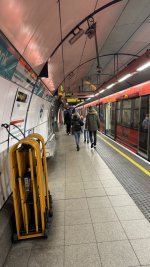
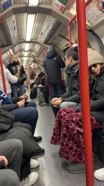
It being the New Year holidays, the tube is already reasonably busy, mostly with tourists off to the West End. I guess, in a sense, we are tourists, too:

IMG_8056.jpeg
 
Last edited:
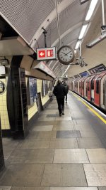
Off at Queensway and the start proper of our Wander……

IMG_8057.jpeg
 
Last edited:
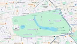
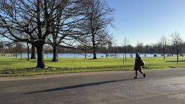
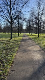
Up above ground at Queensway Statiin, we cross Bayswater Road to enter the first of two Royal Parks we’ll visit today, Kensington Gardens, divided from Hyde Park by the Serpentine lake:

IMG_0246.jpeg

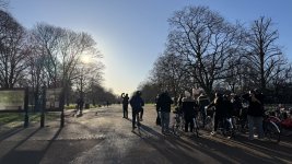
At the entrance, there is a gaggle of tourists, all enjoying a guided tour on bikes, conducted by a Irishman:

IMG_8058.jpeg

As the map shows, the park is divided into a series of ‘walks’. We’ll go straight ahead to Kensington Palace:

IMG_8059.jpeg

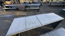
It’s not too warm in the shade, as my graffiti shows:

IMG_8064.jpeg


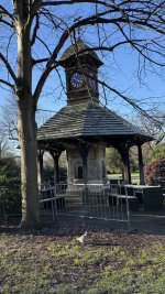
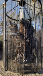
The Victorians and Edwardians did like a memorial or two. This one is the ‘Time Flies’ Clock Tower and Memorial by the Elfin Oak:

IMG_8068.jpeg

IMG_8067.jpeg

IMG_8066.jpeg

IMG_8065.jpeg

IMG_8060.jpeg

IMG_8062.jpeg

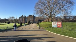
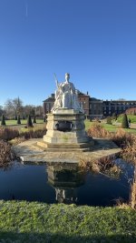
And on, past the Round Pond to Kensington Palace:

IMG_8071.jpeg
IMG_8073.jpeg

IMG_8074.jpeg


You could spend a full morning or even a full day, just visiting Kensington Gardens:


All of London’s 5,000 acres of Royal Parks are wonderful.

To be continued…..
 
Last edited:
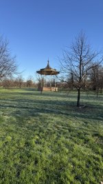
Kensington Palace behind us, it’s time to take one of the ‘walks’, past the bandstand, diagonally across the Kensington Gardens to the Royal Albert Hall:

IMG_8076.jpeg

IMG_8077.jpeg

IMG_8078.jpeg

It’s sometimes possible to forget that people live all around the park and lead lives as ‘normal’ as families in Cornwall or Norfolk or Northumberland:

IMG_8079.jpeg

We can now turn left on South Carriage Drive, past the park gates:

IMG_8081.jpeg

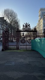
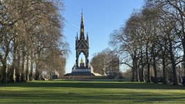
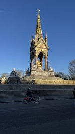
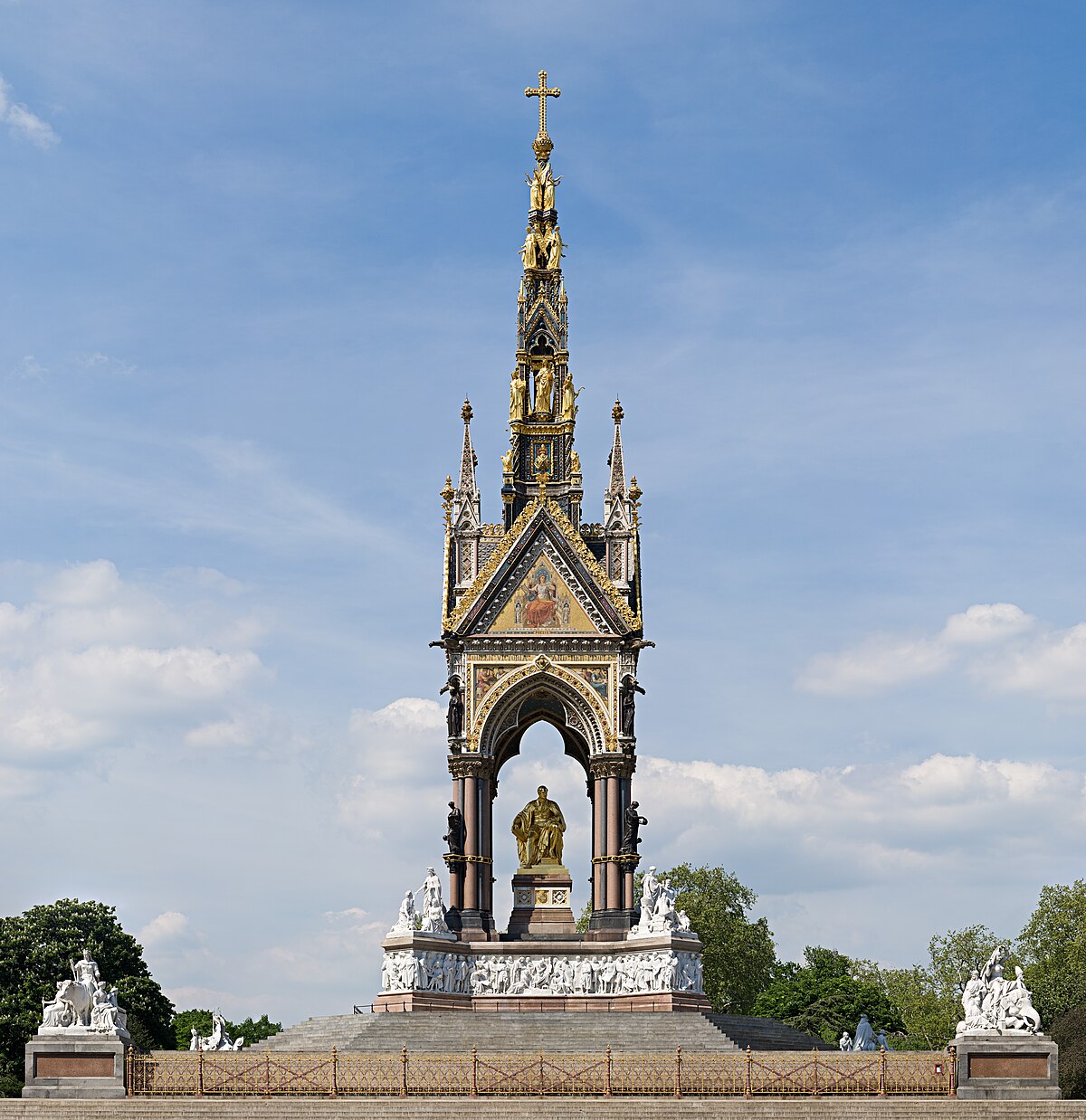
Giving us our first sight of the recently fully restored Albert Memorial, opposite the rear of the Royal Albert Hall:

IMG_8080.jpeg

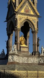
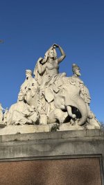
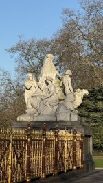
The memorial is high end Victoriana at its finest, with the four different corner pieces having depictions of what I take to be the ‘Peoples of the Empire and Dominions’:

IMG_8084.jpeg

IMG_8083.jpeg

IMG_8087.jpeg

IMG_8089.jpeg

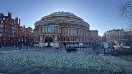
Turning to our right, there’s the back of the Royal Albert Hall:

IMG_8085.jpeg

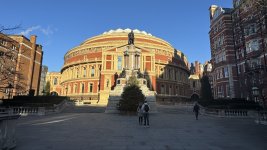
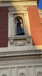
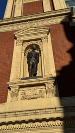
But we can take a look at the front too and at the two statues which flank the main entrance, both added later:

IMG_8099.jpeg

IMG_8096.jpeg

IMG_8097.jpeg


Last edited:
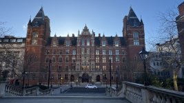
We are now in South Kensington, London SW7 and passing by the Royal College of Music and the entrance of the Royal School of Mines:

IMG_8098.jpeg

IMG_8100.jpeg

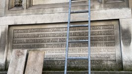
I often like to read the inscriptions (this one unfortunately a bit obscured) but still putting Great Britain plc into the context of the time. The inscription on the Royal School of Mines is from 1909, when Eire was still part of ‘us’ and we still ‘owned’ India:

IMG_8102.jpeg

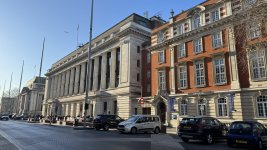
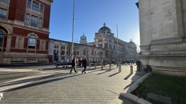
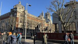
Wandering on and turning southwards on Exhibition Road, we pass Imperial College and the rear of the Science Museum (well soon get to the V&A) all evidencing the explosion of interest in science, nature and the arts that the Victorians encouraged:

IMG_8103.jpeg

IMG_8104.jpeg

Along with the the eponymous Victoria and Albert Museum:

IMG_8106.jpeg

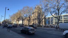
And views of their fronts on the Cromwell Road:

IMG_8109.jpeg

IMG_8110.jpeg


Last edited:
You could comfortably spend two or three days, just visiting the the museums alone. But we have to move on….

To be continued….
 
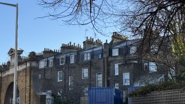
The Albert Hall ticked off, we can move on still southwards, along Thurloe Square and the views of the hundreds of chimneys which used to belch smoke into the London air:

IMG_8111.jpeg

IMG_8113.jpeg

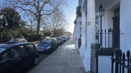
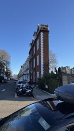
Which brings us to the oddity of the ‘Thin House’ on the corner of Thurloe Square and South Terrace:

IMG_8116.jpeg

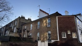
Carrying on, you see the hotchpotch of buildings, the every present chimneys and the ‘renewal’ of London taking place:

IMG_8118.jpeg

IMG_8119.jpeg

IMG_8120.jpeg

 
Last edited:
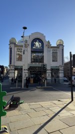
On from the ‘Thin House’ and next up is the ‘Michelin Building’ on the junction of Pelham Street and Sloane Avenue:

IMG_8121.jpeg

Then swerving Sloane Avenue itself, let’s take Draycott Avenue instead:

IMG_8124.jpeg


Past an old favourite restaurant:

IMG_8126.jpeg

And shops / services catering not always for brand new:

IMG_8127.jpeg

IMG_8128.jpeg

And on past the ‘Admiral Cod’ (or just ‘The Cod’) pub in Mossop Street:

IMG_8129.jpeg

Down past the primary school (there’s been one on the site since 1902) and a local taking her dearly loved cat somewhere:

IMG_8130.jpeg

IMG_8131.jpeg

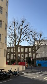
Again it’s the mixture of architecture and the pollarded plain trees that often catches one’s eye:


IMG_8134.jpeg

IMG_8135.jpeg

Across Kings Road and past the former Duke of York’s HQ:

IMG_8137.jpeg


Our next destination is coming up…..
 
Last edited:
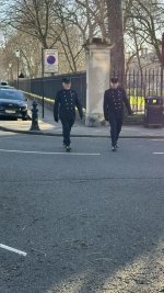
The first two locals out for a stroll:

IMG_8139.jpeg

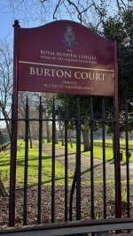
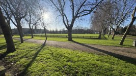
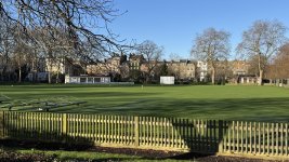
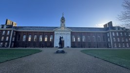
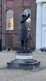
Not many cities have a private cricket square, a football pitch and tennis courts right at their centre. If we include the HAC’s sports field in the City, London has two. This is Burton Court, an adjunct of the Royal Hospital Chelsea, home of the Chelsea Pensioners:

IMG_8140.jpeg

IMG_8141.jpeg

IMG_8148.jpeg

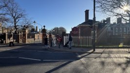
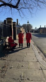
Arriving at one of the hospital’s gates, these three residents asked me if I knew about the new cafe and the museum that has been moved. I knew the old museum but didn’t know that it had moved or about the new cafe. They were kind enough to give me directions:

IMG_8143.jpeg

IMG_8145.jpeg

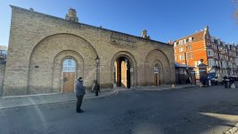
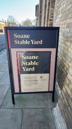
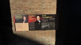
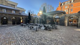
It was a short walk, past the front of the building and into the former stable yard:

IMG_8146.jpeg


IMG_8147.jpeg

IMG_8150.jpeg

IMG_8156.jpeg

IMG_8149.jpeg

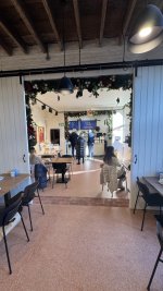
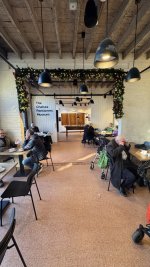
It really is very good and the museum (it’s free) is worth a look, too:

IMG_8155.jpeg

IMG_8153.jpeg

IMG_8154.jpeg


To be continued…..
 
Last edited:


Back
Top Bottom