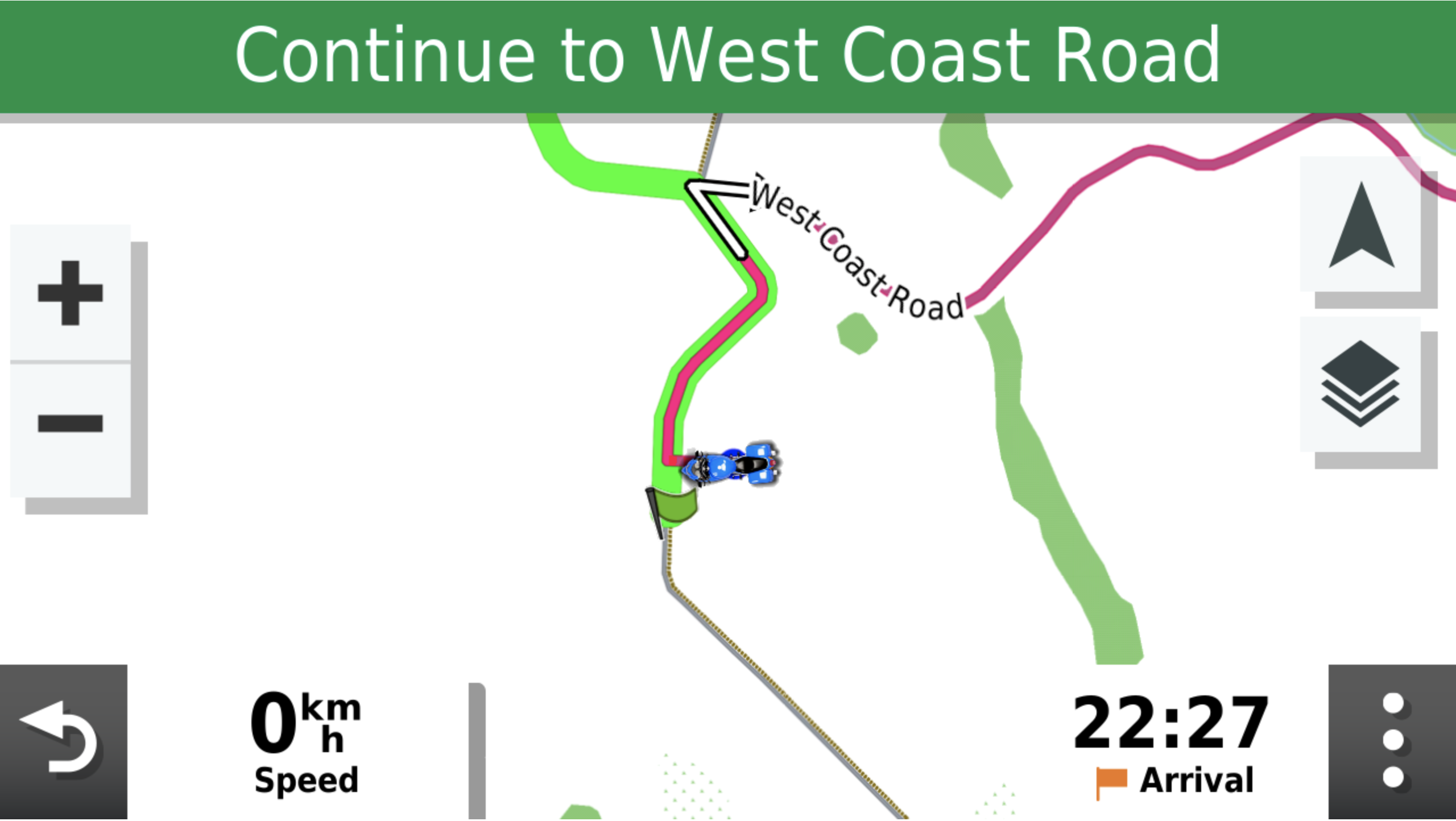
Because of the faster roads problem I'm using many more waypoints with my XT2. For the XT they could be shaping points, but as Tread messes with them then I chose not to use them with the XT2. Because of the higher number of waypoints I'm currently not feeling such a need for the track to show what I planned.
Also, for newer users, the faster roads problem afflicts when you route plan on the XT / XT2 even if it's only a "go to". The higher amount of waypoints makes inserting a waypoint into the route so much easier to force it to go where I'd like it to.
If you want to get really into it, then the zumo users forum is full of useful information
Dedicated forums for Garmin Zumo motorcycle satellite navigation. All questions answered from problems, route planning, touring to tips and tricks
www.zumouserforums.co.uk


 I also keep the skip waypoint via point Icon on the screen as sometimes I create routes with optional loops in them which I skip depending on how times going.
 ![46495[1].png](https://www.ukgser.com/community/data/attachments/403/403868-43394688195e359b272b2e39bcbf32cd.jpg?hash=60ueiGJZDQ "46495[1].png")