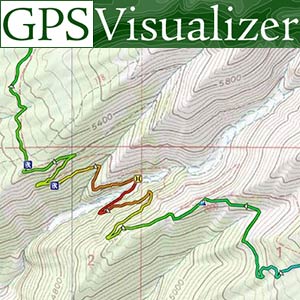
I have imported a track from Google maps, following the below YT. Although I am on a PC and the video is 5 yrs old, I can follow 90% of the steps. I am getting stumped at the track conversion to ensure shaping points are incorporated into the created route as I can't find the 'track conversion' option the video refers too. Can anyone help?